
PAS 128 Utility Mapping
Survey Operations provides PAS 128 utility mapping surveys to help clients locate, verify and record underground services before excavation, design, construction or redevelopment work begins.
Our utility surveys are carried out in line with BSI specification PAS 128:2014, which covers the detection, verification and location of underground utilities. This helps provide clearer, more reliable information for project teams working around buried services.
Survey results can be provided in drawing and CAD formats to recognised industry standards, helping clients reduce risk, improve planning and make more informed decisions before work starts on site.
Contact Survey Operations today to enquire about PAS 128 utility mapping.


PAS 128: 2014 Survey Standard
Desktop Utility Records Search (Survey Type D)
This survey would be a report using record information from utility service providers. Therefore, this is completed by showing their assets within the identified survey area. However, this is usually in a drawing format. In addition, this data is presented in drawings and pdf documents.
Site Reconnaissance (Survey Type C)
This survey would accompany a Desktop Search (Type D) and involves a site reconnaissance visit to identify physical features that support the existence of utilities within the survey area. Therefore, this usually includes manholes, inspection covers, street furniture and excavation scar lines. In addition, this data is presented as a record overlay onto a topographical survey or Ordnance Survey plan.
Detection (Survey Type B)
This survey would accompany a Desktop Search (Type D) and involves scanning the site area using at least 2 geophysical survey techniques. However, a minimum of GRP (Ground Penetrating Radar) and EML (Electro Magnetic Location) would be used to identify underground services. Therefore, this data is presented as a recording overlay onto a topographical survey or Ordnance Survey plan. Due to this, the output would be an agreed digital/cad layered format. In addition, a written report and photographic report would accompany the digital outputs.
Verification (Survey Type A)
This survey would expose the target utilities within the area to confirm and record the location and depths of identified underground utility services. In addition, a service can be visually inspected by viewing manholes/inspection covers and excavation areas.
PAS 128 Utility Mapping FAQs
Supporting Services for PAS 128 Utility Mapping Projects
PAS 128 utility mapping is often required where accurate underground service information is needed before excavation, construction, design or redevelopment work begins. Depending on the site and the level of survey detail required, PAS 128 mapping may be supported by additional utility, drainage and confined space survey services.
For projects where underground assets need to be located and mapped, our utility surveys can help identify buried services and provide clear survey data for project teams. Where additional subsurface investigation is needed, our GPR surveys can support the detection of below-ground features such as utilities, voids and buried structures.
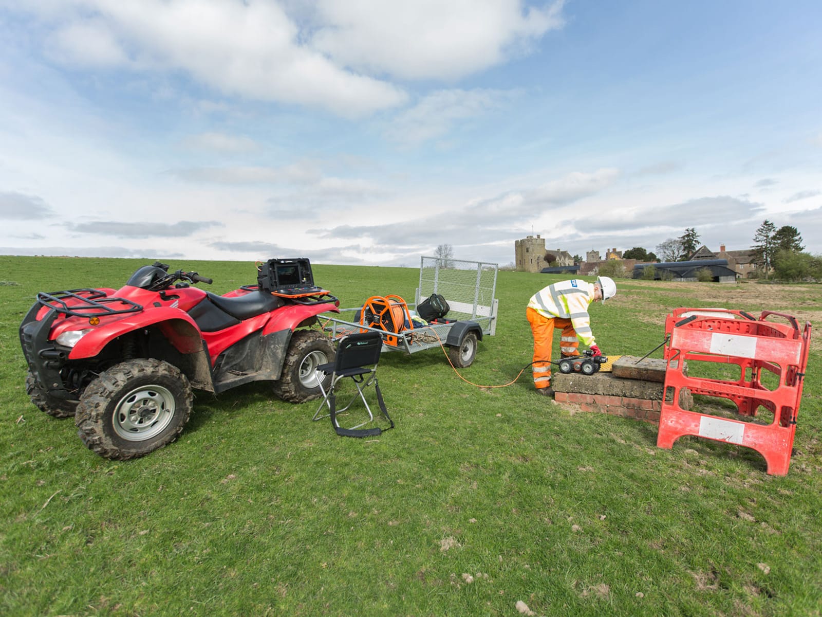
Where drainage infrastructure forms part of the project, our drainage CCTV surveys can provide visual inspection of pipes, sewers and drainage systems. For restricted-access environments such as culverts, chambers and tunnels, our confined space surveys can support safe and accurate data capture.
These supporting services can work alongside PAS 128 utility mapping to help clients reduce uncertainty, manage risk and improve the quality of underground utility information before work starts on site.
Need PAS 128 compliant utility information?
If your project requires PAS 128 utility mapping, GPR surveys, drainage CCTV or confined space survey support, our team can advise on the most suitable survey approach. Contact Survey Operations to discuss your requirements.