We work at the forefront of 3D reality capture. Whether you’re involved in architecture, construction, engineering, or asset management, two technologies have become essential tools for accurately documenting real-world environments: Laser Scanning (LiDAR) and Photogrammetry.
But what’s the difference between them? When should you use one over the other, or both? Let’s break it down.

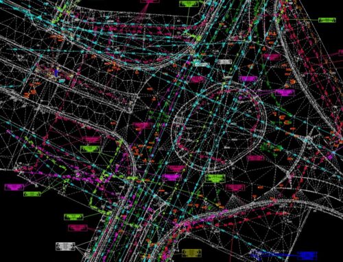
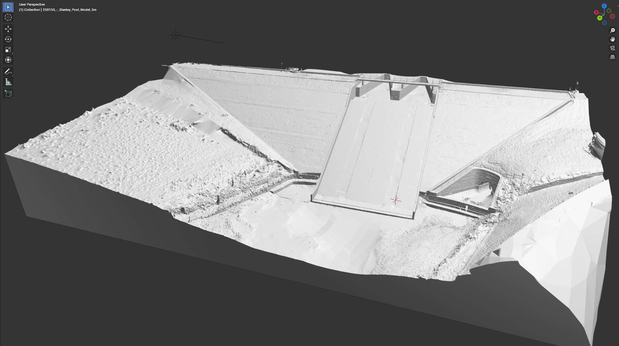
Laser Scanning (LiDAR): Precision and Speed
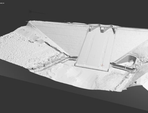
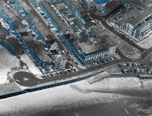
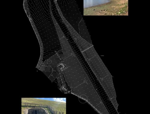
Laser scanning (also known as LiDAR) uses laser beams to capture millions of precise measurements of surfaces, resulting in highly detailed point clouds.

Key Benefits:
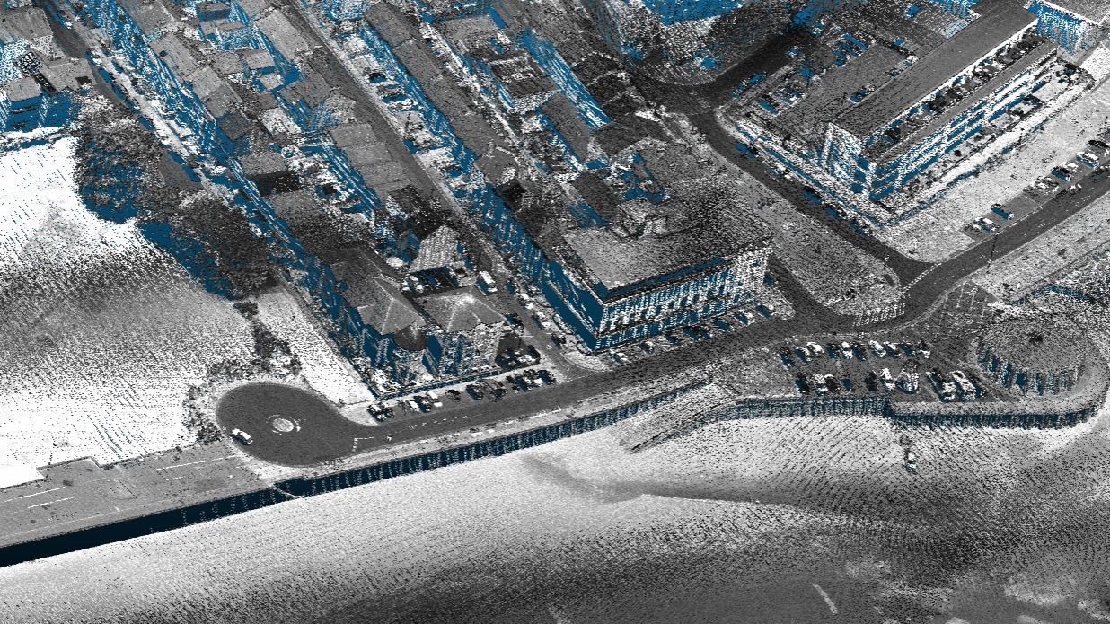
Photogrammetry: Visual Detail and Accessibility
Photogrammetry reconstructs 3D models from overlapping photographs taken from multiple angles. Using just a camera and software, it can produce impressive, textured 3D representations.
Key Benefits:

What’s the Difference?

The core distinction lies in their output and use cases:
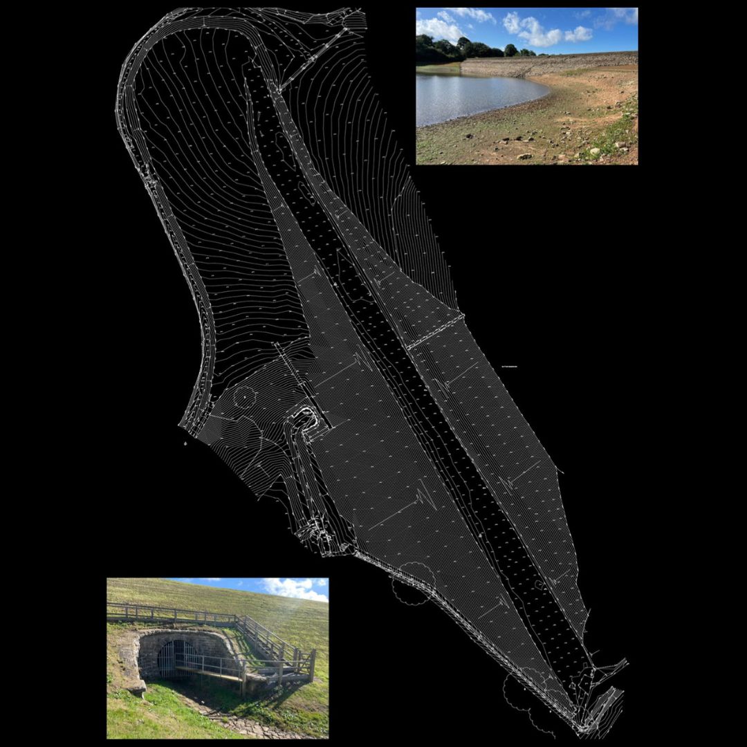
Pro Tip: Why Not Both?
We often recommend combining both methods for the best of both worlds:
Together, they create comprehensive datasets that are precise, detailed, and visually rich, perfect for BIM workflows, heritage documentation, asset management, and more.
If you’re looking for advice on which method is right for your next project, or want to explore integrated laser scanning and photogrammetry services, click here to get in touch.
Learn more about our Survey Services here, contact us to discuss your project here.
Why Choose Survey Operations?
With a dedicated team of experienced professionals and a strong commitment to quality, Survey Operations ensures every survey is completed to the highest standard. Our surveys offer:
- High accuracy data outputs
- Efficient project turnaround
- Competitive pricing
- Complete service from flight to final deliverables
Get in Touch
If you’re looking for a reliable partner for your next survey project, contact Survey Operations today. We’re here to help you collect the data you need—quickly, safely, and accurately.