Shorelines across the UK face increasing pressure from erosion, rising sea levels, and severe weather events. To safeguard these vulnerable environments, rock armour installations are a key defence, and to be able to design, monitor, and maintain such structures effectively, accurate data is essential.
This is where drone surveys come in, combining aerial precision with advanced geospatial analysis to transform the way we approach coastal engineering.
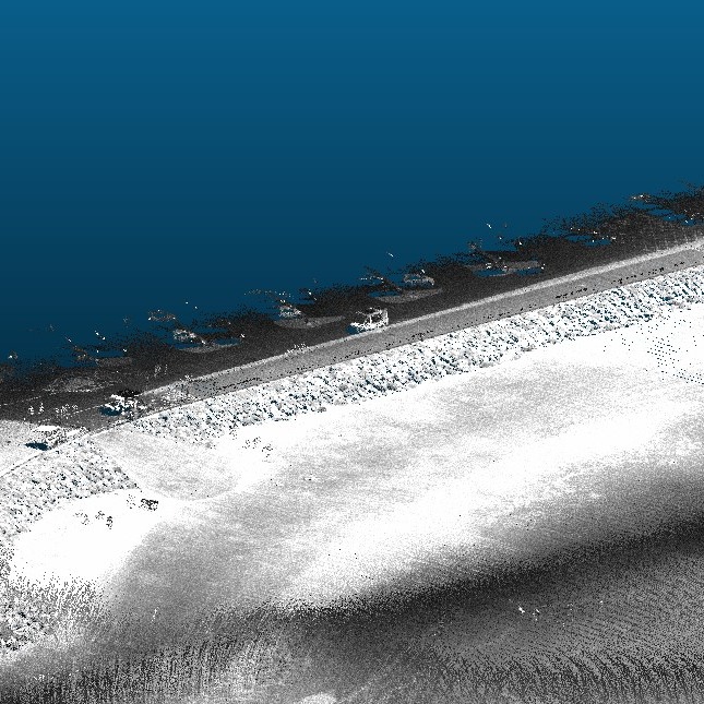
What is Rock Armour?
Rock armour, also known as riprap, involves strategically placing large, interlocking rocks along a shoreline or sea defence structure. These rocks absorb and deflect wave energy, reducing erosion and protecting infrastructure such as roads, railways, and harbour walls.
While robust in design, rock armour requires ongoing monitoring to ensure each stone remains interlocked and aligned. Even small movements can impact performance over time.
Why Drone Surveys are Essential for Coastal Projects
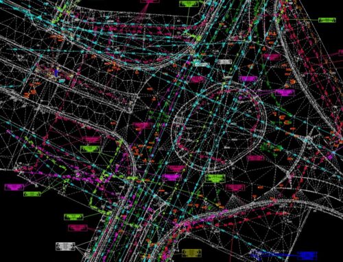
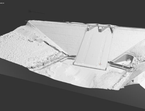
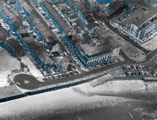
Traditionally, shoreline surveys required ground teams working in challenging conditions. However, drones provide an efficient and safer alternative; because of this, we use UAV technology to capture high-resolution aerial imagery and build accurate 3D models of coastal structures.
Key benefits include:
- Millimetre-level accuracy: Ideal for measuring the placement and stability of rock armour.
- Rapid coverage of large areas: Shorelines can be mapped in hours rather than days, therefore making drone surveys more efficient.
- Reduced risk: Eliminates the need for surveyors to access hazardous tidal zones.
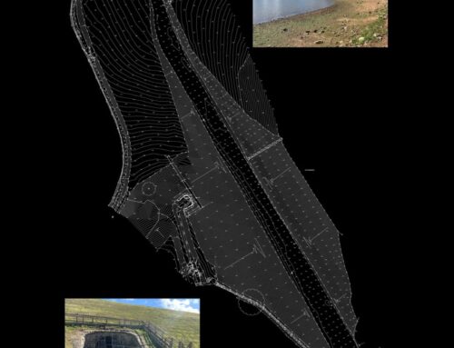
- Actionable insights: Data can be integrated with topographical surveys, land surveys, and drainage surveying to support long-term planning.
Supporting Engineering and Construction
Drone surveys are not just about data capture; they form part of a wider set of surveying services.
From landscape surveying to building surveys, our expertise ensures that every project is backed by accurate, reliable information.
For coastal defence schemes, this means engineers and contractors can make informed decisions about maintenance schedules, structural resilience, and environmental impact.
Why Choose Survey Operations?
With a dedicated team of experienced professionals and a strong commitment to quality, Survey Operations ensures every survey is completed to the highest standard. Our surveys offer:
- High accuracy data outputs
- Efficient project turnaround
- Competitive pricing
- Complete service from flight to final deliverables
Get in Touch
If you’re looking for a reliable partner for your next survey project, contact Survey Operations today. We’re here to help you collect the data you need—quickly, safely, and accurately.

