Mobile mapping is transforming how survey data is captured and applied across infrastructure, highways and large-scale developments. By collecting comprehensive datasets in a single site pass, mobile mapping delivers everything a project needs without the delays and disruption associated with repeat site visits.
Using vehicle-mounted sensors, this approach captures accurate three-dimensional point clouds, high-quality textured imagery and positional data at speed. The result is a rich digital record that supports smarter, more efficient decision-making from the earliest planning stages through to delivery.

Accurate 3D Point Clouds and Textured Imagery
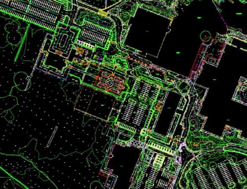
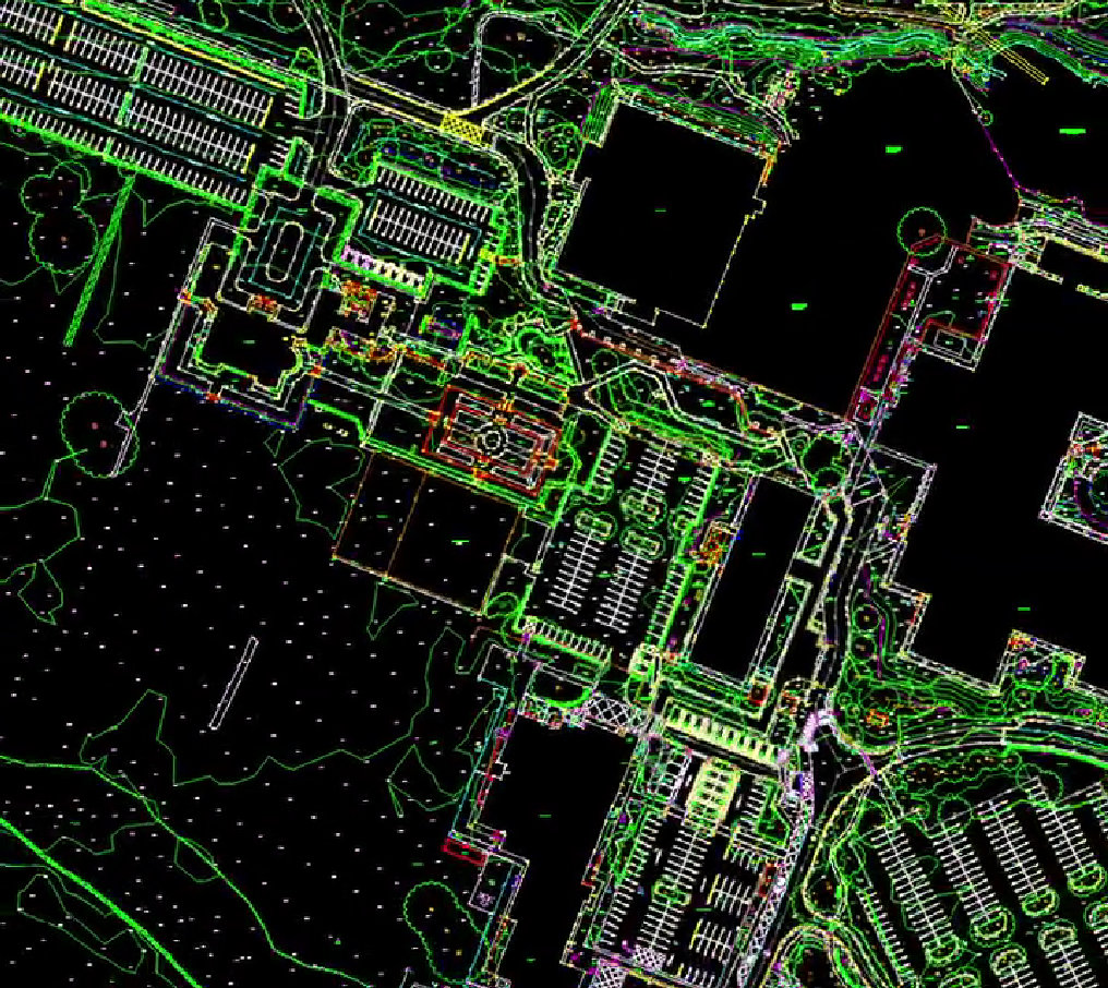
Mobile mapping systems generate dense 3D point clouds that accurately represent roads, structures, street furniture and surrounding environments. Combined with high-resolution imagery, this data provides both geometric precision and visual context.
Textured imagery allows features to be easily identified and measured, supporting tasks such as asset condition assessment, clearance analysis and corridor mapping. This visual clarity improves collaboration between surveyors, engineers and project stakeholders.
Automated Quantities and Asset Insights
One of the key advantages of mobile mapping surveying solutions is the ability to extract automated quantity take-offs directly from the captured data. Volumes, distances and asset counts can be measured accurately without returning to site, reducing both time and material waste.
Route and asset insights derived from mobile mapping support better planning decisions. From understanding network condition to optimising maintenance schedules, the data enables teams to work proactively rather than reactively.
Reducing Repeat Visits and Project Costs
By capturing comprehensive datasets in a single pass, mobile mapping significantly reduces the need for repeat site visits. This minimises traffic management requirements, improves safety and lowers overall project costs.
Fewer site visits also mean reduced carbon impact and less disruption to the public, making mobile mapping a practical and sustainable choice for modern infrastructure projects.
Supporting Smarter Decisions from Design to Delivery
Mobile mapping data supports a wide range of project decisions, from prefabrication orders and material estimation through to fleet optimisation and logistics planning. With reliable data available early, teams can reduce uncertainty and improve programme efficiency.
Integrated into digital workflows, mobile mapping enables faster analysis, clearer reporting and better coordination across disciplines.
Get in Touch
To see mobile mapping in action, explore real-world demonstrations and step-by-step workflows on the Survey Operations YouTube. Visit the channel via the link in our bio and subscribe for practical insights into how mobile mapping data is captured, processed and used on live projects.

