Coastlines are constantly changing. From shifting sand dunes to eroding cliffs, the dynamic nature of our shores presents real challenges for engineers, environmental scientists, and planners.
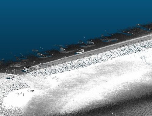
We use LiDAR technology and drone surveys to capture high-resolution topographic data, helping safeguard coastlines for the future.
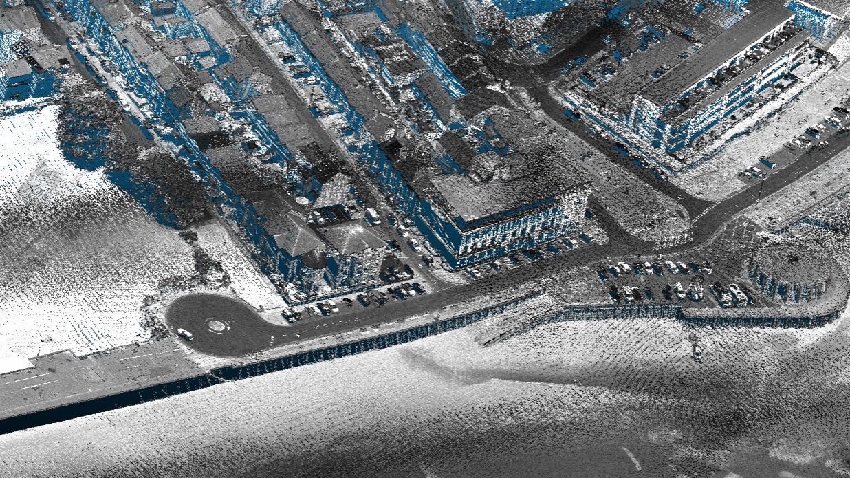
Why LiDAR for Coastal Surveys?
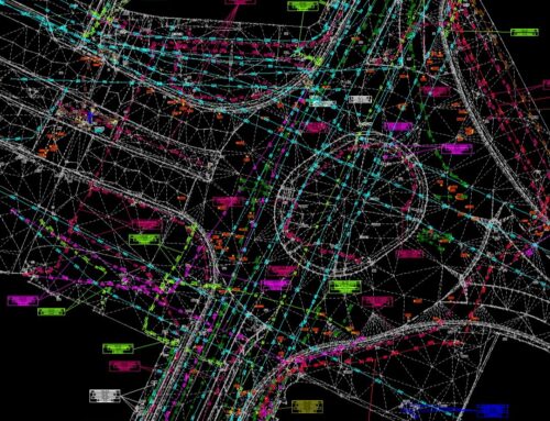
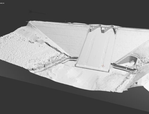
Traditional land survey methods often struggle with inaccessible terrain and can take days. By contrast, UAV-mounted LiDAR systems collect thousands of data points per second, creating precise 3D models of beaches, dunes, and sea defences in just minutes.
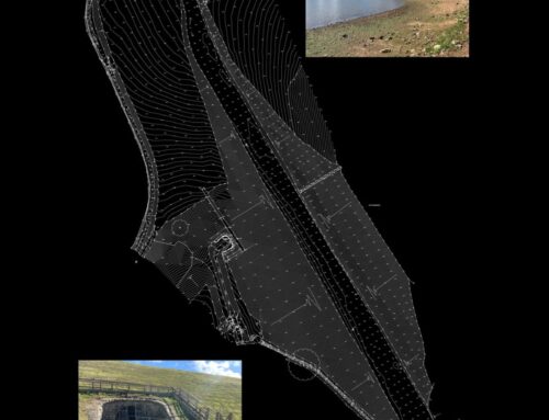
This detailed topographical survey data allows:
- Erosion monitoring: Tracking how coastlines retreat or advance over time.
- Flood risk assessment: Informing planners where water may breach defences.
- Design of coastal protection: Enabling accurate placement of rock armour, sea walls, and dune stabilisation systems.
- Environmental monitoring: Protecting habitats such as saltmarshes and dunes.
Supporting Engineering and Construction
LiDAR mapping isn’t just for the environment; it plays a crucial role in engineering for construction. From planning drainage routes to designing new flood barriers, accurate elevation data is essential for sustainable solutions.
We integrate aerial LiDAR with ground-based methods such as building surveys and drainage surveying. This ensures a complete understanding of both coastal structures and the surrounding natural landscape.
Delivering Smarter Coastal Management
We provide the data that empowers engineers, councils, and environmental bodies to make informed, future-proof decisions.
Whether it’s safeguarding a community from rising seas or monitoring fragile habitats, LiDAR-based landscape surveying delivers clarity where it matters most.
Learn more about our Survey Services here.

