
Underground Utility Surveys
Survey Operations provides underground utility surveys to help clients locate, map and understand below-ground services before design, excavation, construction or redevelopment work begins.
Using a combination of EML (Electro Magnetic Location), GPR (Ground Penetrating Radar), drainage survey methods and PAS 128 compliant processes, our team can identify and record underground utilities with accuracy and clarity.
Our utility survey results can be provided in drawing and CAD formats to support recognised industry standards, helping clients reduce risk, improve planning and make more informed decisions before work starts on site.
Contact Survey Operations today to enquire about utility surveys.


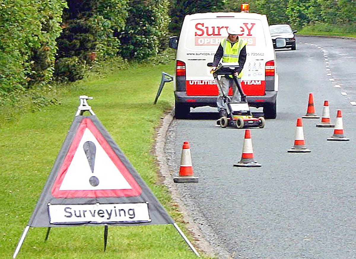


Industries Using Utility Surveying
Underground Utility Surveying is utilised across various industries that require precise information about the location and type of subsurface utilities before commencing construction or development projects. Examples of industries are infrastructure development, property and commercial development, utilities management, environmental and geotechnical engineering, public works, urban planning, and telecommunications.
These industries rely on accurate mapping of underground utilities to avoid interference with existing services during construction and to ensure public safety. Techniques are used to detect both metallic and non-metallic subsurface objects, aiding in reducing planning time, minimising risk, and complying with health and safety regulations.
Utility Surveys FAQs
Related Services for Utility Survey Projects
Utility surveys are often required before design, excavation, construction or redevelopment work begins. Depending on the site conditions and the level of information required, additional survey methods may be needed to build a clearer picture of underground services, drainage routes and restricted-access areas.
For projects where buried services need to be located and mapped, our GPR surveys can help detect underground utilities such as pipes, cables and other hidden assets. Where drainage infrastructure needs further investigation, our drainage CCTV surveys can provide a detailed visual inspection of pipes, sewers and drainage systems.
For projects that require a recognised standard of underground utility information, our PAS 128 utility mapping service can support safer planning, design and construction. Where access is restricted or surveys are required within tunnels, culverts or other enclosed environments, our confined space surveys can provide accurate data while reducing risk on site.
These supporting services can be used alongside utility surveys to help clients reduce uncertainty, improve design information and make more informed decisions before work starts.
Need support with underground utility information?
If your project requires utility detection, drainage investigation or PAS 128 compliant mapping, our team can advise on the most suitable survey approach. Contact Survey Operations to discuss your requirements.