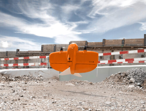
From skies to the screen, UAV LiDAR and photogrammetry are transforming how survey data is captured, processed and applied. By combining cutting-edge drone technology with advanced sensing and imaging techniques, surveyors can now deliver faster, safer and more detailed insights than ever before.
UAV-based surveying has become a powerful solution for projects where traditional ground methods are time-consuming, inaccessible or disruptive. Whether working across large rural sites or complex urban environments, aerial data collection is reshaping how decisions are made.

The Power of LiDAR Data Capture
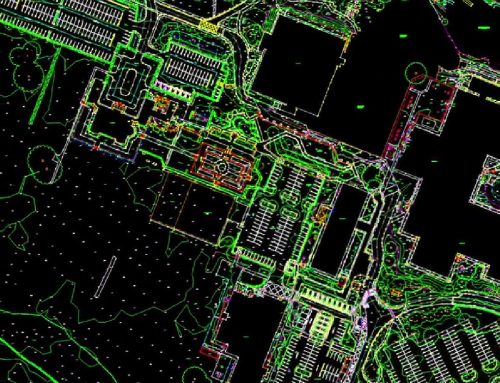
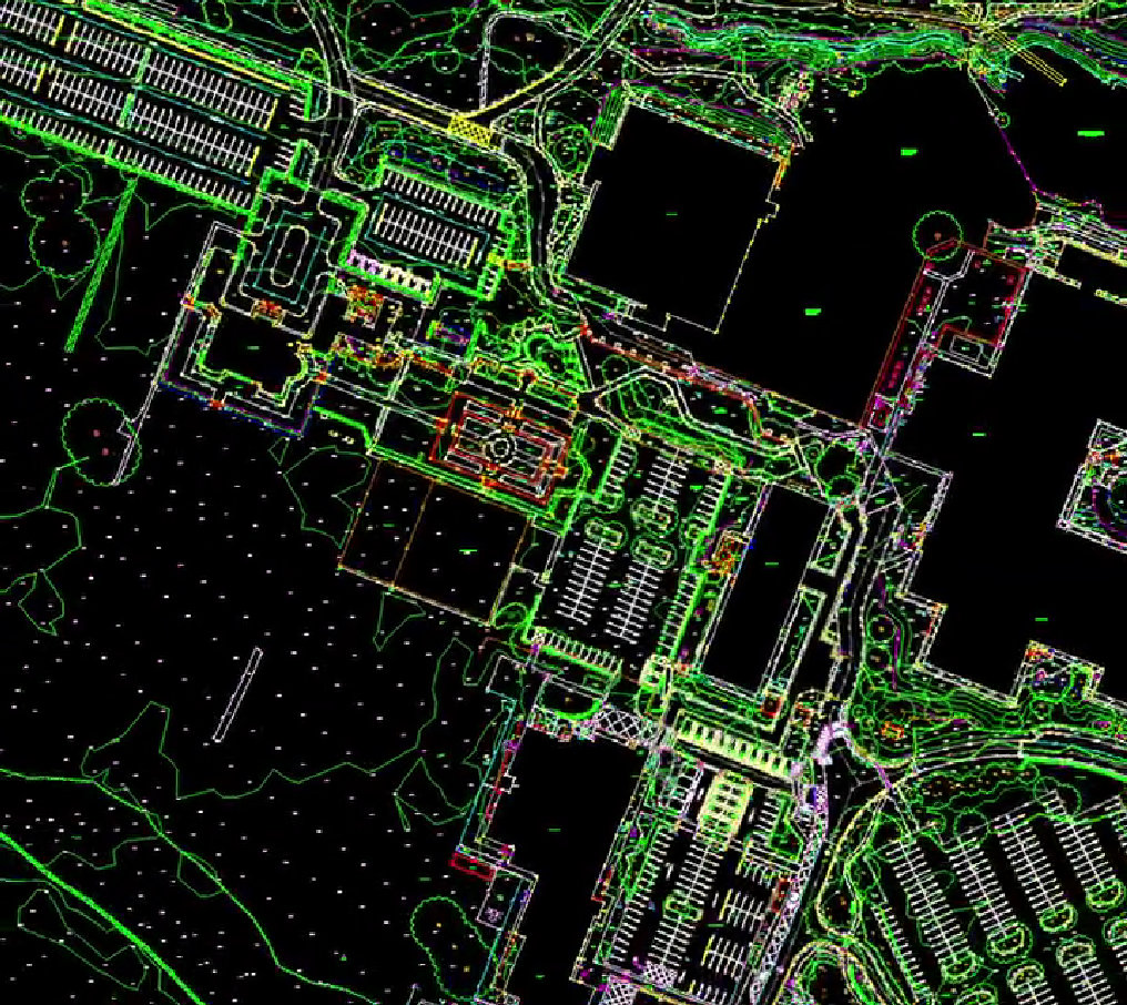
LiDAR technology uses laser pulses emitted from a UAV to measure distances between the sensor and the ground. These pulses return millions of accurate measurements, creating highly detailed three-dimensional point clouds.
One of the greatest strengths of LiDAR is its ability to penetrate dense vegetation. Unlike conventional imagery, LiDAR can record multiple returns through tree canopies, allowing surveyors to model the true ground surface beneath. This makes it particularly valuable for infrastructure corridors, forestry, flood risk assessment and environmental analysis.
The resulting datasets offer exceptional vertical accuracy and consistency, supporting precise terrain modelling, volume calculations and asset mapping. For projects that demand reliable ground data, UAV LiDAR delivers results that are both robust and repeatable.
High Resolution Insights with Photogrammetry
Photogrammetry complements LiDAR by using overlapping aerial imagery to reconstruct surfaces and features in high detail. Captured by UAV-mounted cameras, these images are processed into orthomosaics, digital surface models and digital terrain models.
The strength of photogrammetry lies in its visual clarity. High resolution imagery provides rich contextual information, making it ideal for site inspections, progress monitoring, planning applications and visual communication with stakeholders.
Photogrammetry is particularly effective for construction sites, urban development, heritage documentation and land mapping where surface detail and colour accuracy are essential.
Why Choose UAV Photogrammetry for Your Project
UAV photogrammetry is an excellent choice where visual accuracy, speed of delivery and cost efficiency are key project drivers. By capturing detailed aerial imagery in a short time frame, it allows large or complex sites to be surveyed with minimal disruption to ongoing operations.
One of the main advantages of photogrammetry is its ability to deliver highly detailed, visually intuitive outputs. Orthomosaics and 3D models are easy to interpret and can be readily shared with project teams, planners and stakeholders, supporting clearer communication and faster decision-making.
Photogrammetry surveys are particularly well suited to sites where access is restricted or where traditional ground surveying would be impractical or unsafe. UAV deployment reduces the need for personnel to work at height or in hazardous environments, improving safety while maintaining data quality.
This approach also offers excellent value for money on projects that require regular monitoring. Repeat flights can be carried out efficiently to track progress, measure change and support compliance reporting, making photogrammetry a practical solution for construction programmes and long-term developments.
When combined with other survey datasets, including UAV LiDAR and ground-based surveys, photogrammetry forms a flexible and scalable part of a modern digital survey strategy.
Get in Touch
If you would like to discuss how UAV photogrammetry could support your project, the team at Survey Operations is here to help. Get in touch to speak with a survey specialist about your requirements and discover how accurate, high-quality aerial data can add value to your next scheme.

