Exploring building verticalities through laser scanning allows surveyors and designers to understand structures in a level of detail that traditional methods cannot achieve. By capturing millions of precise measurements, laser scanning creates highly accurate point clouds that reveal façade geometry, subtle offsets and the underlying structural rhythm of a building.
This data-led approach provides a reliable digital representation of existing structures, supporting informed decision-making across conservation, refurbishment and new design projects.

Precise Point Clouds and Façade Geometry
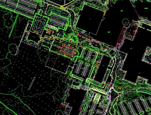
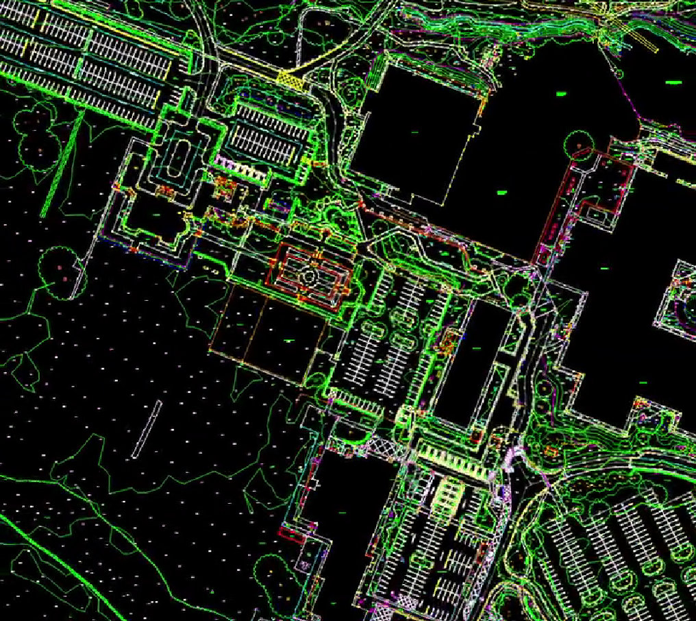
Laser scanning technology records dense point clouds that accurately define walls, elevations and vertical elements. These datasets make it possible to analyse building alignment, detect deviations from true vertical and identify construction tolerances that may not be visible to the naked eye.
For complex or historic façades, point cloud data captures decorative detail, surface variation and changes in plane with exceptional clarity. This level of precision supports accurate drawings, elevations and three-dimensional models that reflect the building as it truly exists.
Revealing Hidden Offsets and Structural Rhythm
One of the key advantages of building laser scanning is its ability to expose hidden offsets and structural inconsistencies. Slight movements, settlement or historic alterations can be identified within the point cloud, allowing project teams to address potential issues early in the design process.
Laser scanning also reveals the structural rhythm of a building, including column spacing, floor levels and façade repetition. This information is invaluable when aligning new interventions with existing geometry or when assessing how a structure has evolved over time.
Ideal for Conservation and As Built Documentation
For conservation projects, accuracy is critical. Laser scanning provides a non-invasive method of capturing sensitive or fragile buildings without physical contact. The resulting point clouds create a permanent digital record that can be revisited throughout the project lifecycle.
As-built documentation generated from laser scanning supports refurbishment, restoration and asset management by providing a dependable reference point. Architects, engineers and conservation specialists can work from consistent data, reducing assumptions and minimising risk on site.
Supporting Confident Design Decisions
Accurate vertical data underpins confident design decisions. Whether planning structural alterations, façade repairs or extensions, laser scanning ensures that proposed works respond precisely to existing conditions.
By integrating point cloud data into design workflows, project teams can test ideas, resolve clashes and improve coordination before construction begins. This leads to better outcomes, fewer surprises and more efficient delivery.
Get in Touch
If you would like to discuss how building laser scanning could support your project, the team at Survey Operations is here to help. Get in touch to speak with a survey specialist and find out how precise point cloud data can support conservation, as-built documentation and informed design decisions.

