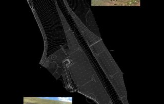
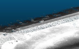
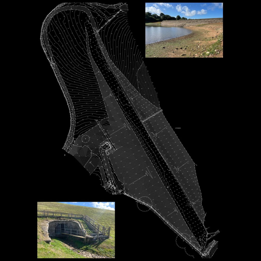
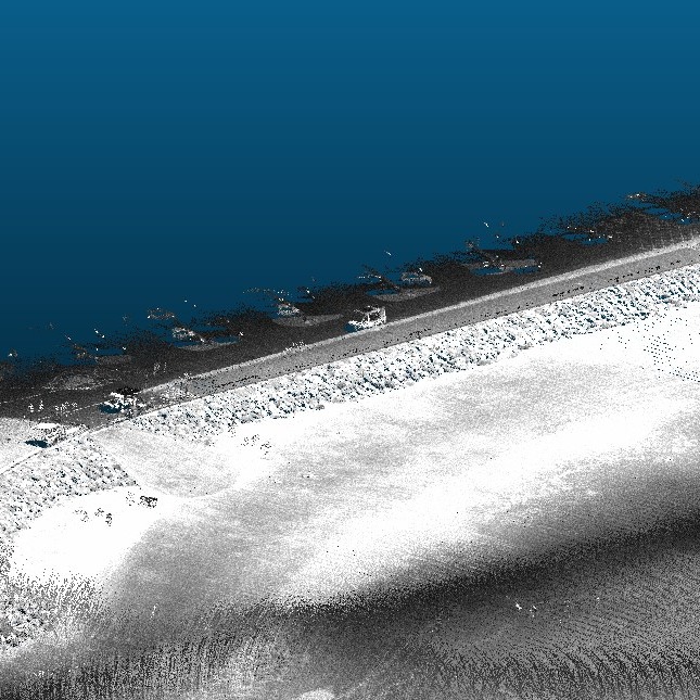
Mapping Reservoirs: High-Accuracy Surveys for Vital Water Resources
Understanding a reservoir's structure, depth, and capacity is critical for safe management and long-term sustainability. Our specialist surveyors combine advanced technology with decades of experience to deliver high-accuracy hydrographic and land survey data for reservoir projects across the UK. [...]


