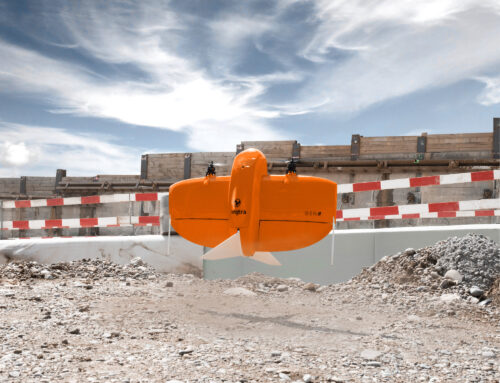
The future of road surveying is here—and it’s fast, accurate, and remarkably efficient. At SurvOps, we’re proud to be at the forefront of this technological leap with our state-of-the-art mobile mapping service.
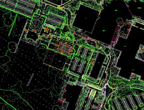
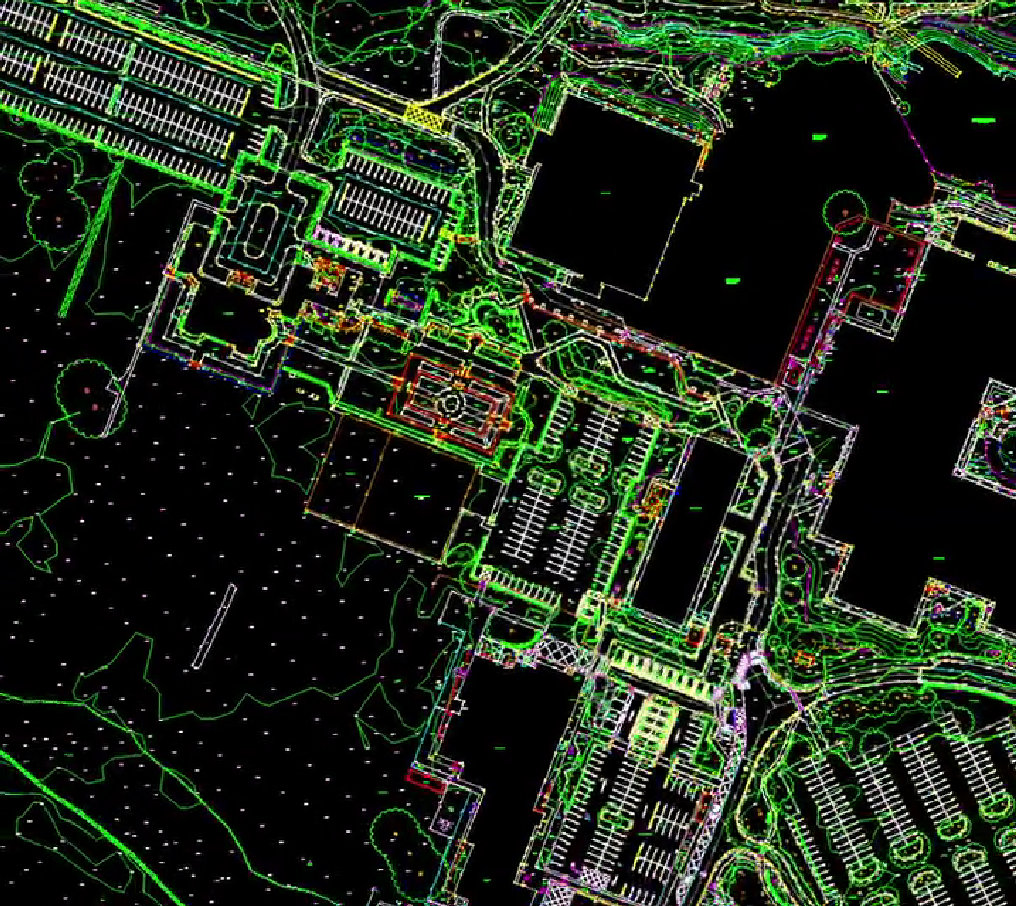
Gone are the days of slow, labour-intensive methods that required boots on the ground and long hours of fieldwork. Mobile mapping systems are transforming the way we collect geospatial data, allowing us to capture high-resolution imagery, LiDAR, and GPS data—all while in motion.
Whether it’s a bustling urban street or a remote rural road, our mobile units can map extensive areas in a fraction of the time traditional surveys require. The result? More data. Greater accuracy. Far less disruption.

Why Mobile Mapping?
👷♂️ Faster
Our vehicles can cover tens of kilometres in a single day, reducing the time spent in the field by up to 70%. This means quicker project turnarounds and lower costs for our clients.
📊 More Accurate
With cutting-edge LiDAR technology and advanced GNSS positioning, we achieve centimetre-level accuracy—delivering the precise data needed for engineering, planning, and asset management.
🛣️ Safer for Field Crews
By minimising the need for surveyors to be on busy roads, mobile mapping drastically reduces health and safety risks, keeping our teams (and the public) safe.
Built for Every Road, Any Challenge
Our mobile mapping service is adaptable and scalable. From major motorways to narrow country lanes, we provide consistent, high-quality data across all environments. This makes it ideal for:
- Road condition surveys
- Infrastructure inspections
- Asset inventory and management
- Urban planning and redevelopment projects
Mapping the Future—One Kilometre at a Time
At SurvOps, we believe that smarter surveying leads to better decision-making. That’s why we invest in technologies that not only deliver exceptional data, but do so efficiently, safely, and sustainably.
Explore the difference that mobile mapping can make for your next project—and join us as we chart a new path in geospatial excellence.
Ready to get moving? Contact us today to learn more about our mobile mapping solutions.
Why Choose Survey Operations?
With a dedicated team of experienced professionals and a strong commitment to quality, Survey Operations ensures every survey is completed to the highest standard. Our surveys offer:
- High accuracy data outputs
- Efficient project turnaround
- Competitive pricing
- Complete service from flight to final deliverables
Get in Touch
If you’re looking for a reliable partner for your next survey project, contact Survey Operations today. We’re here to help you collect the data you need—quickly, safely, and accurately.

