Mapping the Land, Shaping the Future: Precision Topographical Surveys in Action
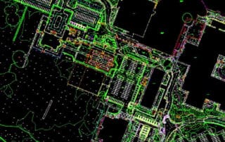
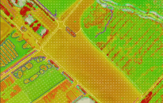
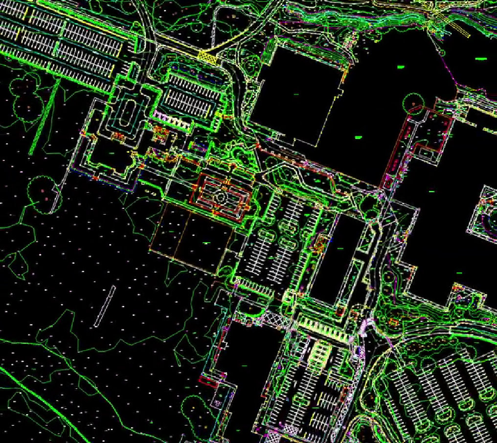
At Survey Operations, every survey begins with a simple objective: capture the land as it truly exists, with accuracy, clarity, and detail that professionals can rely on. Behind every project is a combination of advanced technology, experienced surveyors, and carefully [...]


