Capturing accurate data over vast landscapes has always been a challenge for surveyors and engineers. Traditional ground-based methods can be time-consuming, labour-intensive, and costly, particularly when projects cover inaccessible or sensitive terrain.
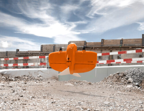
This YouTube video showcases how fixed-wing UAV surveys are reshaping what’s possible in land surveying, delivering rapid, high-resolution aerial data collection at a lower cost than conventional methods.
Why Fixed-Wing UAVs Are a Game-Changer for UK Surveying
While multi-rotor UAVs are ideal for hovering, fixed-wing drones are able to fly further, faster, and more efficiently. Fixed-wing systems shine in scenarios where scale matters; for large surveys, they offer clear advantages.
Unmatched Coverage and Efficiency
Due to the wing design generating lift, fixed-wing drones expend less energy than multirotor drones. With extended flight times and streamlined aerodynamics, fixed-wing UAVs can map vast amounts of terrain in a single flight. For clients requiring topographical surveys, UAV mapping services, or large-scale engineering surveys, this significantly accelerates programme delivery.
Reduced Costs Without Compromising Detail
By covering larger sites in fewer flights, fixed-wing drones reduce time while being more energy efficient. The result? Lower cost, faster delivery, and consistently high-quality outputs.

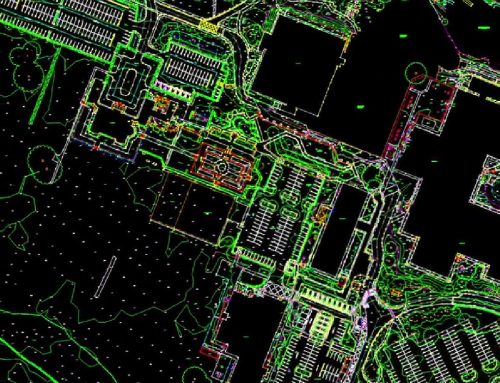
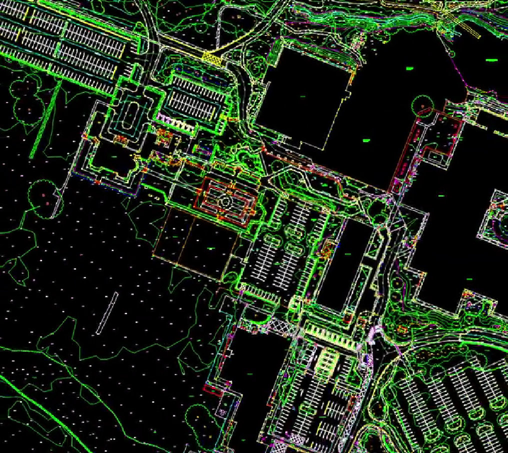
Aerial Data That Supports Every Stage of a Project
Our fixed-wing UAV surveys produce a suite of deliverables tailored to design consultants, construction professionals, and environmental teams:
- High-resolution orthomosaic imagery
- Digital Surface Models (DSMs) and Digital Terrain Models (DTMs)
- 3D point clouds suitable for integration with BIM and CAD software
- Volumetric analysis
This data integrates seamlessly with Survey Operations’ broader services.
Why Work with Survey Operations for UAV Surveying?
As one of the UK’s leading surveying companies, delivering land surveys, topographical surveys, drone surveying,
3D laser scanning, and engineering surveying services since 1986, we combine experience with innovation. Our investment in the latest UAV technology ensures clients benefit from:
- CAA-qualified UAV pilots
- Rigorous safety, compliance, and data-quality standards
- Integrated workflows across all Survey Operations’ disciplines
- A responsive team with national coverage and specialist expertise
Planning a UAV Survey? Speak to Our Team
Whether you’re looking for a drone survey for an upcoming development, need comprehensive mapping services for engineering design, or want to explore how UAV surveys could support a complex site, our team is ready to help.

